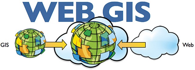
• WebGIS
In the WebGIS I have learnt different ways of creating online maps
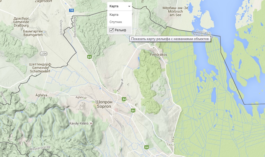
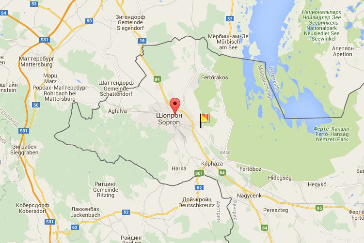
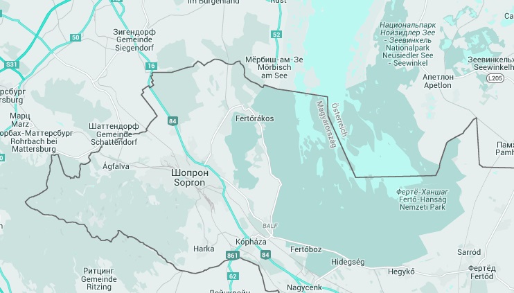
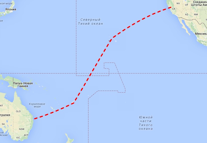
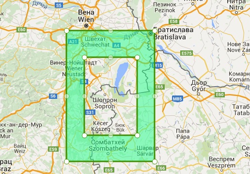
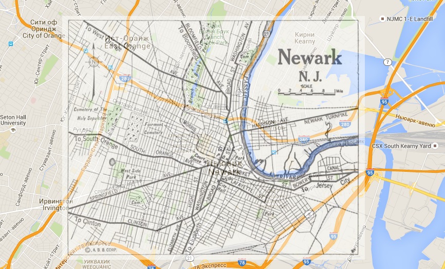
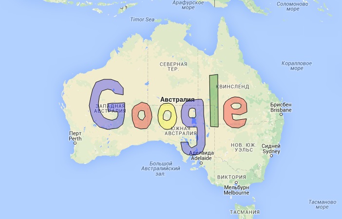
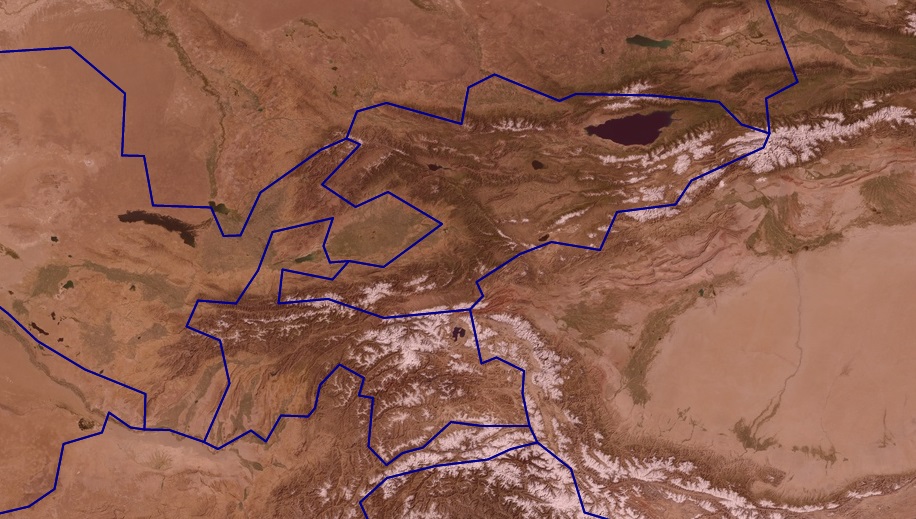
Starting with simple exercises as calculating the arithmetic tasks with using HTML code with scripts and creation of simple map with elements (map type, events, tilt view, styling, create polyline and multipolyline, image overlay and working with GeoJSON). Below shown some examples:
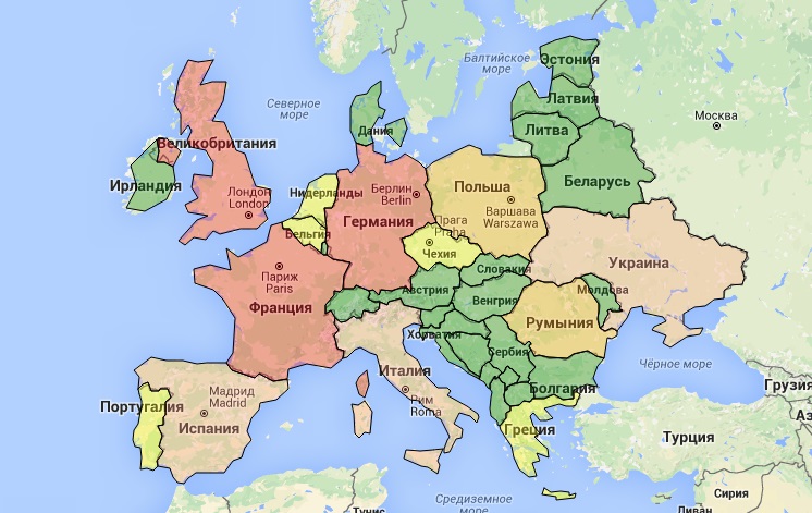
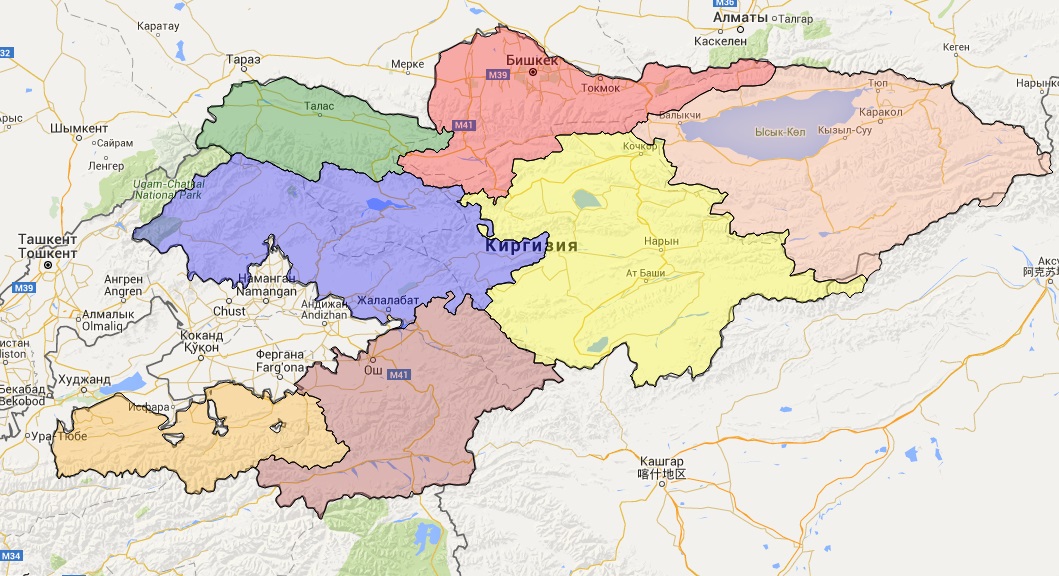
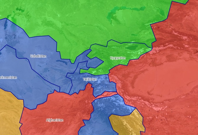
Classification maps
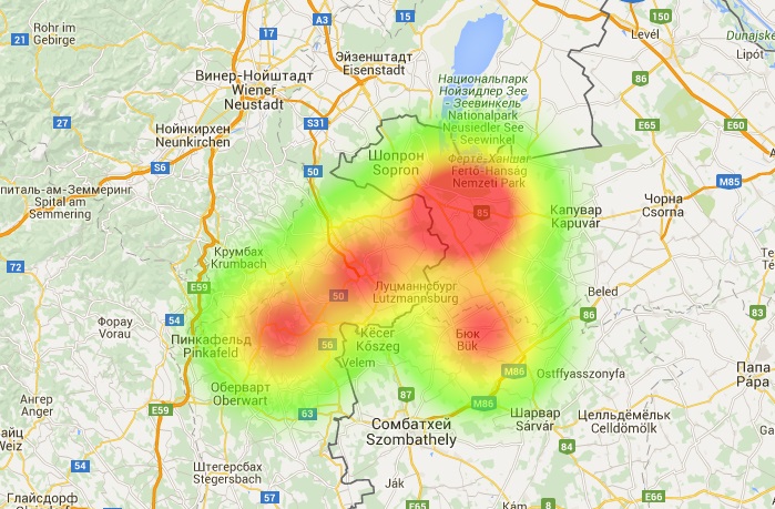
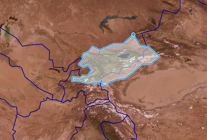
Heatmap, position (x,y), GeoJSON creation of the OpenLayersMap object,
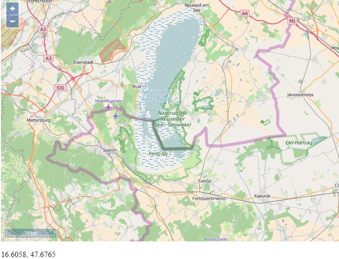
GeoJSON creation of the OpenLayersMap object and styling, and modifying
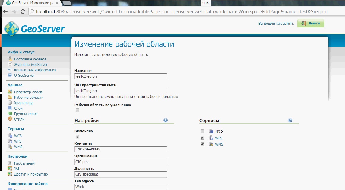
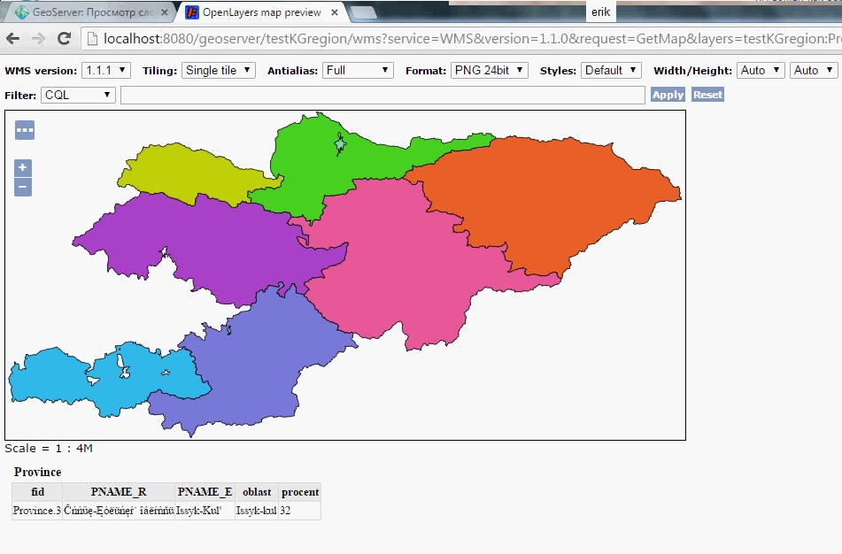
Working with GeoServer, creation of own geodatabase and displaying it